
Services
Water Supply Evaluation
Development of suitable water supplies for oil and gas, industrial, and municipal sectors.
Water Supply Evaluations
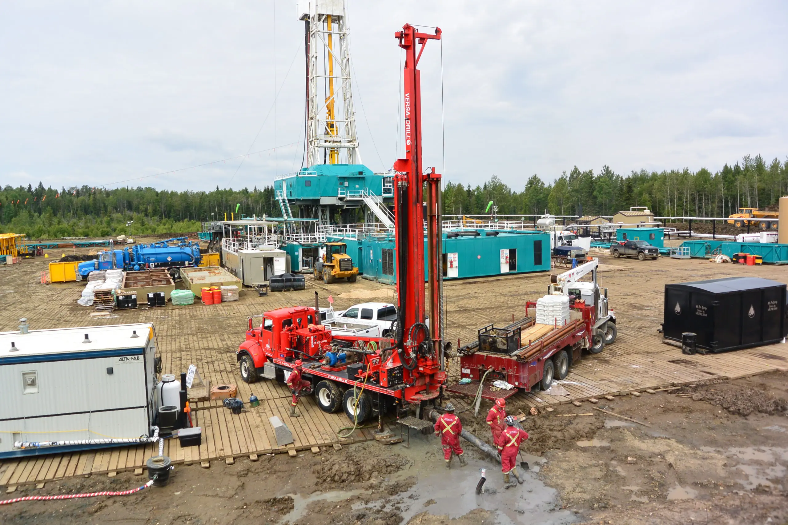
Baseline Water has extensive experience in water supply for various sectors. We specialize in surface water and groundwater evaluation, Water Act Licensing, compliance reporting, and hydrogeologic mapping.
Our comprehensive experience includes:
Oil and Gas Projects:
- Hydraulic Fracturing
- Steam Assisted Gravity Drainage (SAGD) Operations
- Enhanced Oil Recovery (ER) Projects
- Oilfield Facility and Camp Water Supply
Industrial and Commercial Projects:
- Data Centres
- Bottled Water Operations
- Construction
- Agricultural, Irrigation and Confined Feeding Operations
Municipal, First Nations and Residential Projects:
- Well Monitoring and Licensing
Water Act Licensing and Approvals
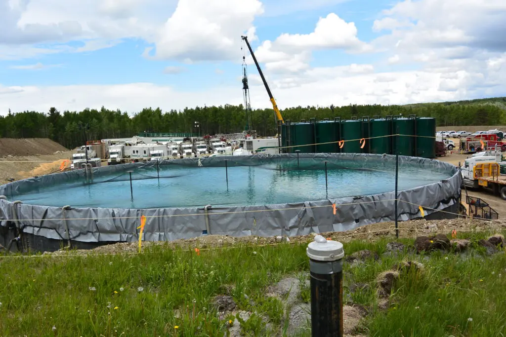
Baseline Water has licensed professionals in Alberta, British Columbia and Saskatchewan, authorized to submit technical reports to regulatory bodies.
- Temporary Diversion Licences and Term Licences for surface water and groundwater sources
- Water Act Licence Transfers
- Approvals to construct borrow pits, retention ponds and water storage reservoirs
Hydrogeological Assessments & Aquifer Evaluations
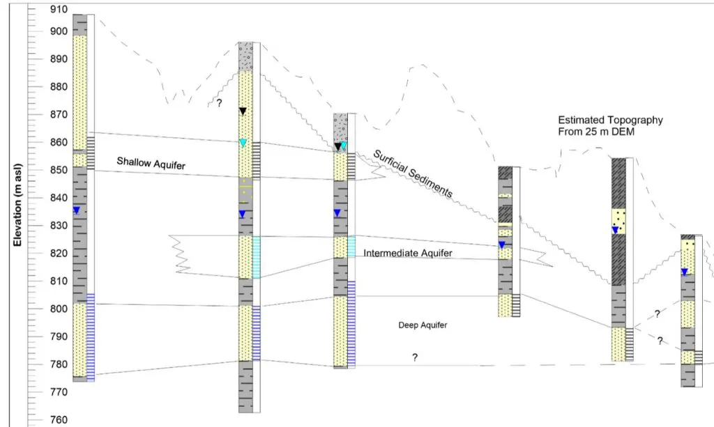
Our hydrogeology professionals conduct desktop studies as a starting point for groundwater potential evaluation. The results are used to target specific aquifers for field drilling and well testing.
- Desktop groundwater studies to identify prospective drill targets
- Supervise water source well drilling and completion
- Conduct constant rate testing (pump tests), data analysis, reporting and licence applications
Hydrological Assessments
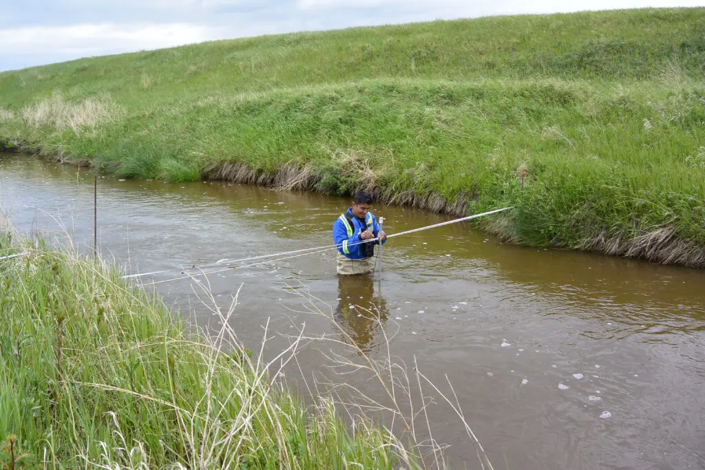
Our hydrology experts have conducted water supply assessments for oil and gas operations, municipalities, and data centres. We specialize in GIS and remote sensing analysis of watersheds for mining and dewatering operations.
- Hydrological assessments for watersheds including rivers, lakes and dugouts
- Hydrologic mapping using remote sensing datasets
- Surface water and groundwater interaction assessments
- Elevation-Storage Relationship (ESR) for lakes and reservoirs using bathymetric data
- In-stream discharge assessments, stream gauging, and rating curve development
- Wastewater to surface water Downstream User Impact Studies (DUIS)
- Mining and dewatering hydrological assessments
Water Use and Compliance Reporting
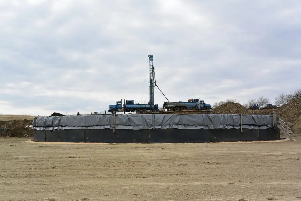
Baseline Water manages monthly reporting requirements for water licences and offers remote monitoring solutions for data collection. Our hydrogeologists provide detailed analysis of aquifer performance for annual reporting.
- Hydrological assessments for watersheds including rivers, lakes and dugouts
- Hydrologic mapping using remote sensing datasets
- Surface water and groundwater interaction assessments
- Elevation-Storage Relationship (ESR) for lakes and reservoirs using bathymetric data
- In-stream discharge assessments, stream gauging, and rating curve development
- Wastewater to surface water Downstream User Impact Studies (DUIS)
- Mining and dewatering hydrological assessments
- Provide monthly water use, and water level reporting to provincial water use reporting systems (OneStop and DRAS)
- Prepare and submit annual water use reports (AWURs)
Regional Hydrogeologic Mapping
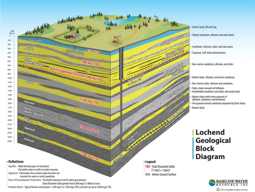
We conduct regional studies for groundwater supply and produced water disposal projects. Both shallow and deep geologic datasets are assessed to determine potential alternative groundwater sources, defined as having total dissolved solids (TDS) concentrations greater than 4,000 mg/L and are present below 150 m depth. These alternative groundwater sources are desirable options for industrial use as the water quality is unsuitable for domestic or agricultural use.
- Drill Stem Test (DST) Interpretation
- Pressure/Elevation Plots
- Wireline Log Evaluation
- Aquifer/Aquitard Identification
- Water Disposal Zone Characterization
- Formation Water Fingerprinting
Ready to discuss your water supply needs?
Our team of specialists is available to assess your project requirements.